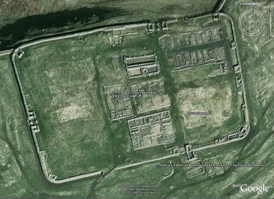
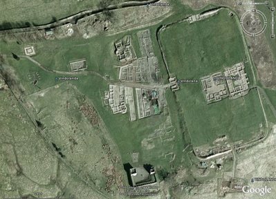
The Roman wall was built not too long after the time of Christ and marked the furthest reach of the Roman Empire. They gave up at this point and just built a wall 85 miles across this narrow part of the country to keep us Geordies out.
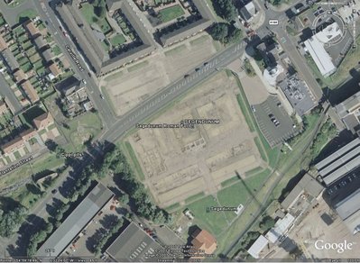
It starts in the East at Wallsend (of course) which was a shipbuilding area near the mouth of the River Tyne near where I live and finishes past Carlisle on the West coast.
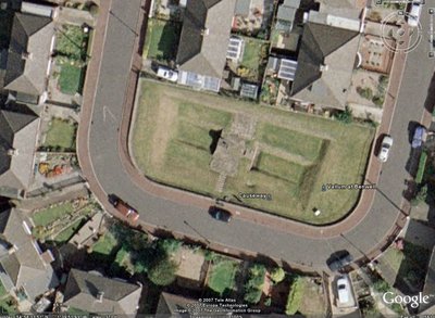
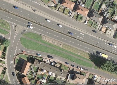
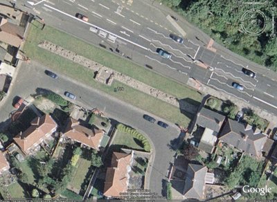
It was originally built of wood and a turf bank to get something in place quickly. Then later re-built much stronger from stone. There was also a deep ditch called the "Vallum" which ran along the south side of the wall. This was crossed at intervals with a causeway and fortified gate.
The modern main east/west highway follows the route of the wall. So you often see bits of the wall alongside the road.
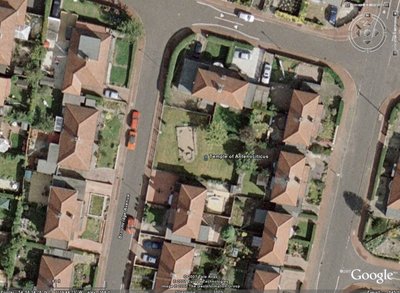
Also over the last 2000 years people have built over the wall and other buildings so you have some houses that have bits of the wall or even a temple in their back yard!
Hope you like these Eddie.





 If I lived there Dave, I would have geology/antiquities as a secondary hobby for sure. Near my home is an old Native Indian Burial ground. You can find arrow heads made from stone and beads there, but it's private property or owned by the railroad. The burial grounds themselves are distinguished by a gradual increase in elevation around the burial sites. I was also reading where the civilisations that used the wheel first where usually the ones that went on the offensive. Of course this comes much much later in mankinds history! It would make sense to fortify and build the structures tall and sturdy enough to prevent the enemy/invaders from breaching it. Amazing any of it lasted this long.

 A688 Tomorrow,

